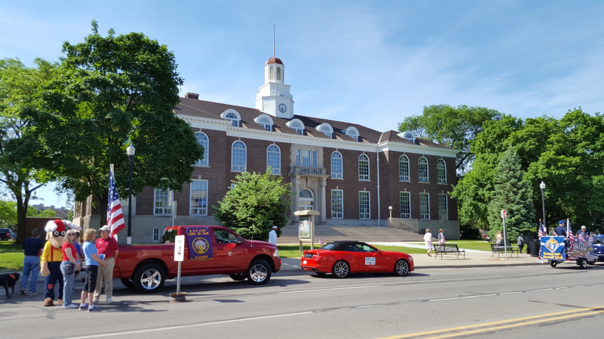
Former city hall during Memorial Day Parade, Dearborn, Michigan

Outdoors

Hiking near Dearborn

National forests, parks, lakes and recreation areas with hiking trails near Dearborn, closest first.

8places to hike
14 mito the closest
2within 30 miles
March–June, August–Novemberbest months

Good to know: Carry more water than you think you need, check the managing agency’s page for trail closures and fire restrictions, and start early on hot days.

Closest picks

1

Detroit River International Wildlife Refuge

14 mi south · Fish and Wildlife Service

The only international wildlife refuge in North America, Detroit River International Wildlife Refuge is located along the lower Detroit River and western shoreline of Lake Erie - just 20 miles south of Detroit, Michigan and 50 miles north…


2

River Raisin National Battlefield Park

29 mi south · National Park Service

River Raisin NBP preserves, commemorates, and interprets the January 1813 battles of the War of 1812 and their aftermath.

3

Ottawa National Wildlife Refuge

49 mi south · Fish and Wildlife Service

Much of Ottawa National Wildlife Refuge and the surrounding lands were once part of the Great Black Swamp. The 1,500 square mile Great Black Swamp was a vast network of forests, wetlands and grasslands.

Map of all 8 places

Map of 8 places loads as you scroll.

Within 30 miles (2)

14 mi south · Fish and Wildlife Service

Detroit River International Wildlife Refuge

The only international wildlife refuge in North America, Detroit River International Wildlife Refuge is located along the lower Detroit River and western shoreline of Lake Erie - just 20 miles south of Detroit, Michigan and 50 miles north…

  • Archery
  • Birding
  • Boating
  • Cross Country Skiing
  • Fishing
  • Hiking
  • Hunting
  • Non-Motorized Boating

29 mi south · National Park Service

River Raisin National Battlefield Park

River Raisin NBP preserves, commemorates, and interprets the January 1813 battles of the War of 1812 and their aftermath.

  • Biking
  • Fishing
  • Hiking
  • History
  • Paddling
  • Picnicking
  • Wildlife viewing

30 to 75 miles (1)

49 mi south · Fish and Wildlife Service

Ottawa National Wildlife Refuge

Much of Ottawa National Wildlife Refuge and the surrounding lands were once part of the Great Black Swamp. The 1,500 square mile Great Black Swamp was a vast network of forests, wetlands and grasslands.

  • Archery
  • Biking
  • Birding
  • Cross Country Skiing
  • Fishing
  • Hiking
  • Hunting
  • Non-Motorized Boating

75 miles and farther (5)

80 mi northwest · Fish and Wildlife Service

Michigan Wetland Management District

The 629 acre Michigan Wetland Management District is part of the National Wildlife Refuge System.

  • Archery
  • Backpacking
  • Birding
  • Cross Country Skiing
  • Fishing
  • Hiking
  • Hunting
  • Photography

80 mi northwest · Fish and Wildlife Service

Shiawassee National Wildlife Refuge

Shiawassee National Wildlife Refuge was established in 1953 and contains 10,000 acres of marsh, bottomland hardwood forest and grasslands.

  • Biking
  • Birding
  • Boating
  • Educational Programs
  • Fishing
  • Hiking
  • Hunting
  • Motor Boat

111 mi southeast · National Park Service

Cuyahoga Valley National Park

Though a short distance from the urban areas of Cleveland and Akron, Cuyahoga Valley National Park seems worlds away. The park is a refuge for native plants and wildlife, and provides routes of discovery for visitors.

  • Biking
  • Camping
  • Fishing
  • Hiking
  • History
  • Horseback riding
  • Paddling
  • Picnicking

115 mi southeast · National Park Service · Campground

Cuyahoga Valley National Park Picnic Shelters

Cuyahoga Valley National Park is a destination for millions of visitors each year who enjoy hiking, riding the Cuyahoga Valley Scenic Railroad , biking and picnicking.

  • Camping
  • Hiking
  • Picnicking

127 mi south · US Army Corps of Engineers

Pleasant Hill Lake

At the Corps Pleasant Hill Lake, extensive recreation facilities are operated by the Muskingum Watershed Conservancy District. Visit their website at: www.mwcdlakes,com.

  • Hiking
  • Picnicking
  • Wildlife viewing

Distances are straight-line miles from downtown Dearborn. Listings come from Recreation.gov’s federal recreation database; check each official page for hours, fees, fire restrictions and closures before you go.

Get outside around Dearborn

Hidden gems at The Henry Ford video thumbnail

THINGS TO DO · YOUTUBE SHORT

Hidden gems at The Henry Ford

Highlights inside The Henry Ford museum, including the bus on which Rosa Parks refused to give up her seat. A Short shared by from Michigan with Love Blog.

Watch on YouTube ↗
A trip through Greenfield Village video thumbnail

THINGS TO DO · YOUTUBE SHORT

A trip through Greenfield Village

A train ride and stroll through Greenfield Village's historic buildings. A Short shared by Todd Touchberry.

Watch on YouTube ↗

More outdoors near Dearborn

Questions

Where is the closest place for hiking near Dearborn?

Detroit River International Wildlife Refuge (Fish and Wildlife Service), about 14 miles south of Dearborn as the crow flies. Next are River Raisin National Battlefield Park (29 mi) and Ottawa National Wildlife Refuge (49 mi).

When is the best time for hiking near Dearborn?

Based on Dearborn’s average highs, March–June, August–November. Conditions at higher elevations can be much cooler.

Who manages these places?

Federal agencies including Fish and Wildlife Service, National Park Service, US Army Corps of Engineers. Each listing links to its official page for hours, fees, closures and current conditions.

Dearborn AI

Your Dearborn local guide
Hey there!

I'm Dearborn AI. Ask about neighborhood food, independent shops, local history or planning a visit.

AI recommendations may be inaccurate. Verify hours and prices. Questions are processed by Cloudflare. Privacy